GPS Tracking for Last-Mile Delivery Fleets
The last mile is the shortest leg of a delivery and the most expensive one. Everything upstream moves in bulk, and then a single van carries individual parcels to individual doors, on streets with traffic, parking and people who are not home. GPS tracking for delivery fleets exists to make that leg measurable, and the money involved keeps growing: the global fleet management market is projected to grow from USD 30.1 billion in 2026 to USD 122.3 billion by 2035.
Security pushes in the same direction. Cargo theft losses surged to about USD 725 million in 2025, up roughly 60% year over year, and delivery loads sitting in an unattended van are among the softest targets in the chain.
The problems this creates for an operator are concrete. A failed first attempt spends the driver time, the fuel and the vehicle slot twice. Dwell at the kerb that nobody measures quietly eats an hour a day per driver. Customers call the office because the tracking page says only that a parcel is out for delivery. And a load that goes missing gets discovered at reconciliation, hours after anyone could have acted.
What Live Tracking Changes on the Last Mile
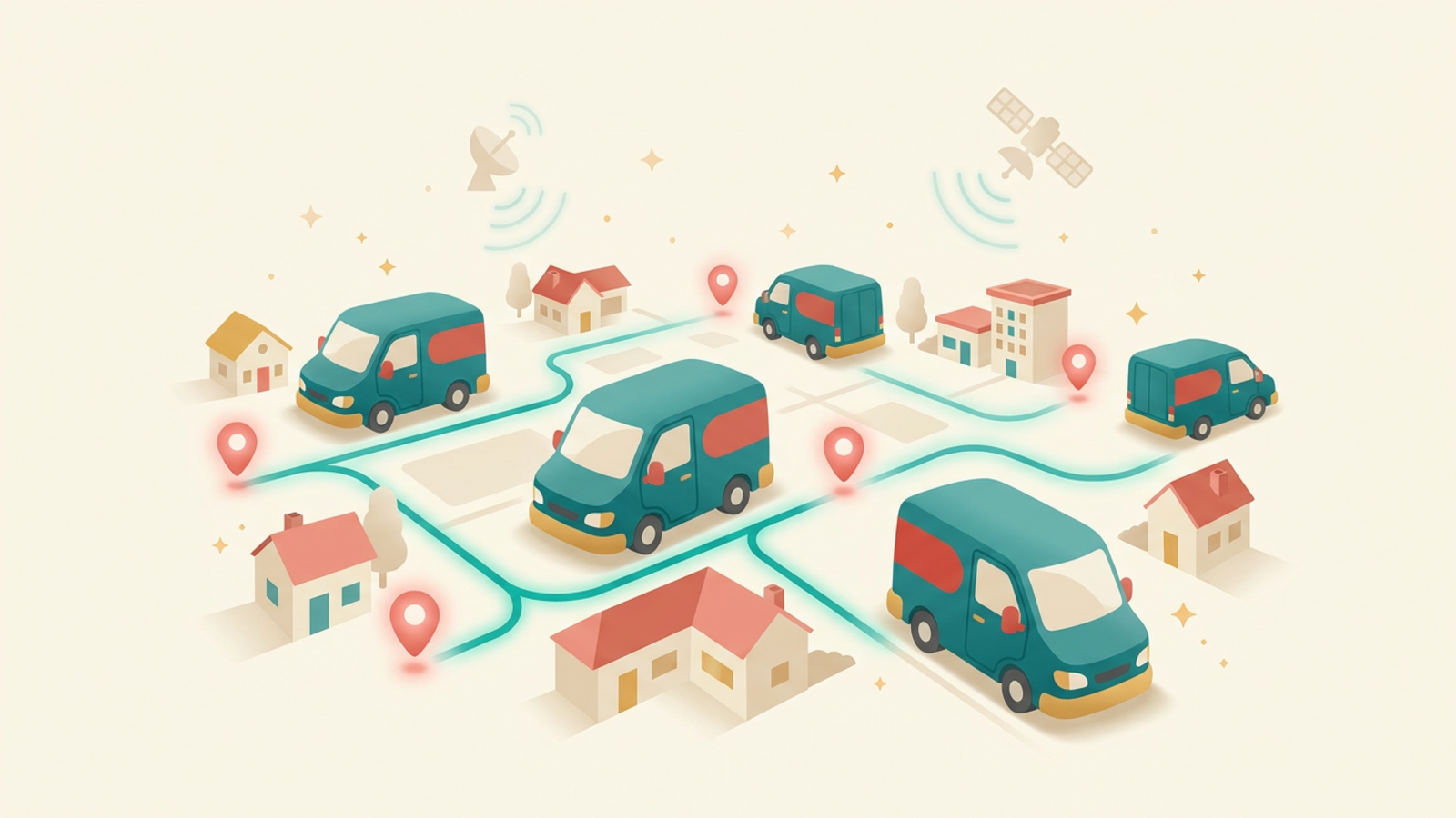
The first change is dispatch stops flying blind. Instead of phoning drivers for status, a dispatcher sees every van on one map with its remaining stop list. When a route slips, the fix is a re-sequence or a handover to the nearest vehicle, decided in a minute rather than at the end of the shift.
The second change is the ETA. A live position plus historical travel times produces a narrowing window that gets more accurate as the van approaches, which is the difference between a customer waiting in and a customer going out. That single feature removes most of the calls that used to occupy the office phone all afternoon.
The third is proof. Timestamped arrival and departure at each stop, paired with a signature or photo, turns a delivery dispute into a lookup. Platforms built around last-mile delivery software bundle these pieces together with routing, so dispatchers work in one screen rather than three.
The Real Challenges of Running a Delivery Fleet
Stop density is the hardest constraint. Urban routes with tight stop spacing lose their time to parking and walking, while rural routes lose it to distance. The same 60 stop plan behaves completely differently in each, and a schedule built without real travel data will fail one of them every day.
Dwell time is the quietest cost. Nine minutes at a stop feels normal, and a driver who averages fourteen minutes across 40 stops is losing more than three hours a day compared with one who averages nine. Without stop-level timing, nobody can see which addresses, buildings or customers are responsible.
Driver turnover compounds both. High churn means a constant supply of people who do not know the route, cannot find the loading bay and take longer at every stop. Recorded route history shortens the ramp, because a new driver inherits the timings and access notes of the person who ran it before. Add fuel volatility and the security risk to a loaded van, and the margin on a parcel gets thin quickly.
The Economics of a Live ETA
Most operators buy tracking for one reason and keep it for another. This is where the money actually moves.
| Cost driver | Without tracking | With live GPS data |
|---|---|---|
| Failed first attempts | Driver arrives, nobody home, parcel returns to depot | Customer gets a narrowing window and stays in |
| Dwell at the kerb | Unmeasured minutes spread across 40 stops | Stop-level timing exposes the slow addresses |
| Fuel and idling | A monthly invoice with no explanation | Idle minutes per vehicle per day, ranked |
| Where is my order calls | Office phones the driver, then phones back | Self-service tracking link handles it |
| Load loss | Found at end-of-day reconciliation | Route deviation and geofence alerts in the moment |
Routing, Dwell Time and Stops Per Hour
Route plans built on straight-line distance fall apart on contact with a city. Plans built on recorded travel times from your own vehicles hold up, because they already contain the one-way systems, the school run and the delivery bay that takes eleven minutes to reach on foot.
Start by measuring stops per hour by route and by driver, then look at the spread rather than the average. The gap between your fastest and slowest route on similar density is your improvement budget, and it is usually larger than anyone expects.
Geofences convert that data into automation. Draw one around the depot and each delivery zone, and you get arrival and departure events without asking a driver to press anything. Those events feed payroll, customer notifications and the daily performance report at the same time. Our GPS fleet tracking guide covers the setup mechanics in more detail.
Tracking the Load, Not Just the Van
Vehicle tracking tells you where the van is. It says nothing about whether a specific consignment is still on board, which matters when high-value goods move through multiple hands or ride with a subcontracted carrier you do not control.
That is the gap single-trip devices fill. Dropping a low-cost tracker into the load itself gives you a trail that belongs to the goods rather than the vehicle, which is useful for exception lanes, contested deliveries and shipments that change carriers halfway. Logistimatics explains the pattern well in its write-up on disposable trackers for delivery loads, including when a single-use device beats a permanent one.
Use the two layers together rather than choosing. The van tracker runs your daily operation, and the load tracker covers the shipments where a dispute would cost more than the device. The same logic runs through our overview of GPS tracking for logistics.
Fuel, Idling and Driver Behaviour
Idle time is the easiest saving in any delivery fleet, because most of it is invisible until someone counts it. A van left running through a ten minute drop, forty times a week, burns fuel for a job the engine is not doing. Publishing idle minutes per vehicle, without singling anyone out, usually cuts the number within a fortnight.
Harsh braking and acceleration data matters for the same practical reason: it predicts collisions, tyre wear and fuel burn. Treat it as coaching rather than surveillance, share the numbers with drivers, and reward the routes that improve. Fleets that use the data to punish lose the drivers who were fixable.
Speed and route adherence close the loop. Vehicles that stick to planned routes finish earlier, use less fuel and produce fewer customer complaints, which is why route adherence is worth reporting weekly alongside stops per hour.
Choosing Hardware Without Overbuying
Match the device to the job. Owned vans do well with hardwired or OBD-II trackers that draw vehicle power and report every 30 seconds or better while moving. Trailers, roll cages and swap bodies need battery devices with motion-triggered reporting. Subcontracted vehicles you cannot fit at all are where single-trip load trackers earn their place.
Cost per vehicle per month matters more than any single feature once you pass a dozen vans, because the multiplication is what hurts. Options built for affordable fleet tracking exist precisely for operators scaling from five vehicles to fifty who need the core visibility without an enterprise contract.
Before signing anything, run a 30 day pilot on your two most different routes: your densest urban run and your longest rural one. If the data does not change a decision during that month, more features will not change one later.
Build a Delivery Day You Can Actually Promise
The fleets that win the last mile are not the ones with the newest vans. They are the ones that know how long each stop truly takes, tell customers the truth about arrival windows, and spot a slipping route while there is still time to move it. All three come from the same live position data.
If you want the technology behind those maps explained in plain terms before you shortlist a vendor, start with our GPS tracking overview.
Frequently Asked Questions (FAQs)
How does GPS tracking improve last-mile delivery?+
It replaces guesswork with live positions, so dispatch can re-sequence stops, warn customers about a slipping window and route the nearest van to an urgent job. It also measures dwell time at every stop, which is where most lost hours hide. The compounding effect is more completed stops per driver per day.
What is the best GPS tracker for delivery vans?+
For owned vans, a hardwired or OBD-II tracker is the sensible default because it needs no charging and reports continuously while the vehicle runs. Choose a device that reports at least every 30 seconds while moving, supports geofencing, and feeds a platform your dispatchers will actually open. Battery trackers make more sense for trailers and loose loads.
Can customers see live GPS tracking of their delivery?+
Yes. Most delivery platforms publish a customer-facing link that shows a live map and a narrowing ETA window on the day of delivery. The data comes from the same vehicle feed dispatch uses, filtered so the recipient sees only their own stop. Sharing it sharply reduces inbound calls asking where the driver is.
How much does last-mile delivery GPS software cost?+
Pricing is normally per vehicle per month, with hardware either bundled or bought outright, and the range is wide depending on features like routing and proof of delivery. Compare total cost across a three-year term rather than the headline monthly rate. Weigh it against the fuel, overtime and failed attempts the system removes.
Does GPS tracking reduce delivery fuel costs?+
It does, through three routes: shorter routes from better sequencing, less idling once idle minutes become visible per driver, and fewer repeat trips because first-attempt success improves. None of them is dramatic alone. Together they usually show up in the fuel invoice within a quarter.