GPS Tracking9 min read
How to Find a Hidden GPS Tracker on Your Car
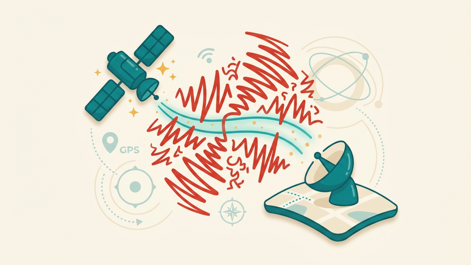
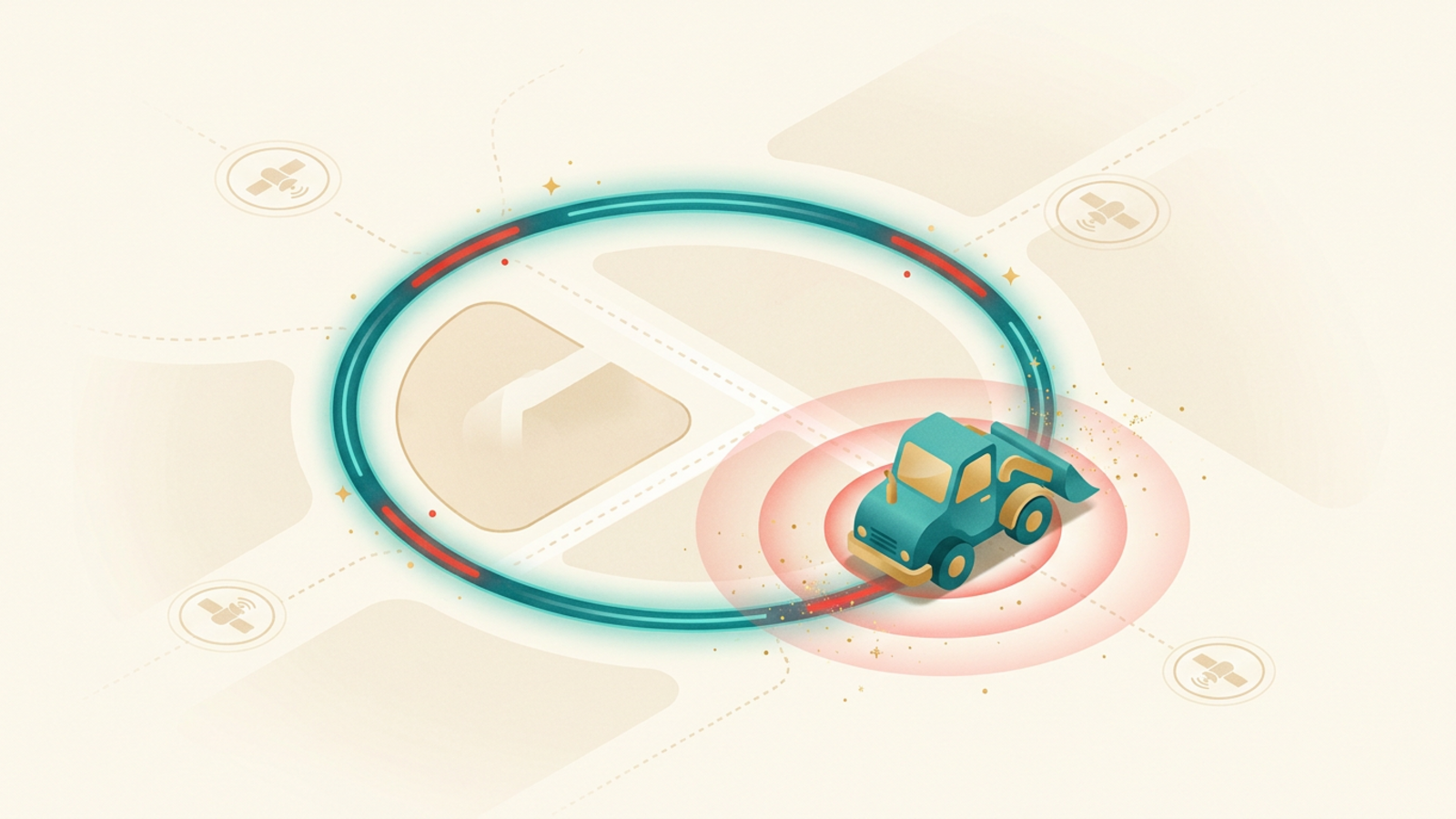
If you suspect someone is tracking your car, a careful search usually finds the device fast. Here is where hidden GPS trackers hide, how to sweep for them, and what to do next.
Read →